


Archaeology and Heritage
We have been awarded (March 2017) Registered Organisation status by the Chartered Institute for Archaeologists! We're also EuroGPR members and OFCOM licenced for radar operation.
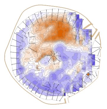
Magnetic prospecting
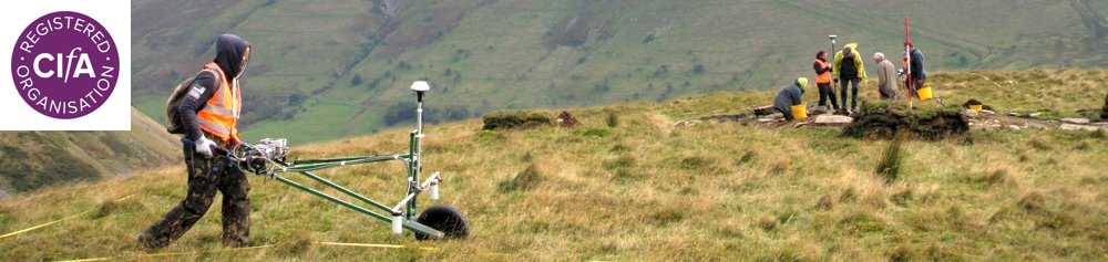
We have deployed cart-based sensor platforms since 2003 and fully automated ATV-based systems since 2010, bringing the various benefits of total field (caesium vapour) magnetometry to heritage projects.
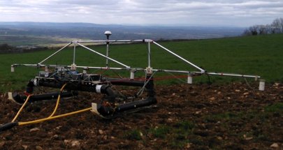
With rates of coverage reaching 15 ha / day per array we can easily prospect large areas where geological and ground conditions are suitable. For small areas we can deploy lightweight handcart systems instead. Every survey is to a bespoke specification which accounts for soil, geology and landuse: not all sites will yield magnetic data of use to archaeology.
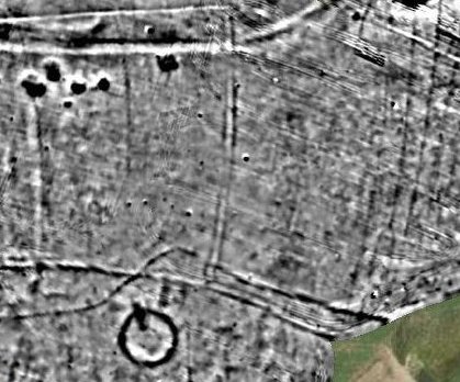
Our TMI data is likely the best available to UK archaeologists and supports sophisticated interpretation methods. It is also capable of mapping lateral magnetic susceptibility variations from laminar features or from modification of soils by occupation-related processes, rarely visible to vertical gradiometers by virtue of their construction.
Where there is a need to measure magnetic susceptibility directly we have the capability to do so using tried-and-tested technology from Bartington Instruments in a variety of configurations depending upon the site and requirements.

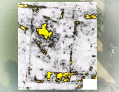
Electrical methods
We provide electrical resistivity and resistance surveys in various configurations, whether used to laterally prospect for and map features like wall footings, ditch fills and other moisture-varying features or as resistivity tomography to build 2D profiles or 2.5D data volumes.
Where good electrical contact with the ground is not possible electromagnetic induction methods (EMI) can be used instead, common in palaeo-environmental projects where the lateral resolution can be lower but with a greater depth of investigation. These are also suitable for acquiring a rapid overview of a site prior to more detailed electrical resistance work.
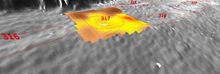
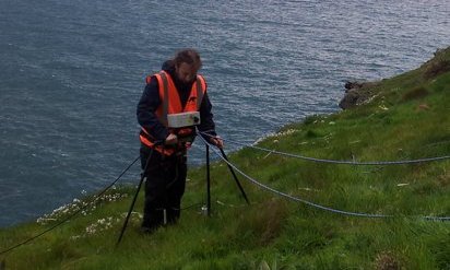
Ground penetrating and wall probing radar
We regularly undertake radar survey for a variety of purposes, including archaeological, often in connection with graves and tombs or within buildings. We operate various systems from UTSI Electronics with antenna frequencies of 250, 500 and 1000 MHz and use Reflex for advanced processing.
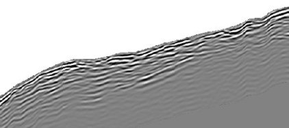
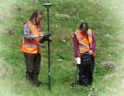
For sites that are not flat a topographic survey is sometimes also needed (or LiDAR data if this is available) to allow the correct construction of a 3D ground model.


©TigerGeo Limited - Registered in England & Wales 09895326 - D-U-N-S 22-127-7456 - All Rights Reserved